Vienna's U2×U5 programme is a useful lesson in reading infrastructure news. A station structure can be substantially built while the passenger route remains a future service. Travellers need to know which statement a headline is making.
Two lines, a wider network
The programme combines the development of U5 with changes and extensions involving U2. Its significance lies in connections between neighbourhoods and the wider public transport system, not simply in adding another coloured line to a map.
Read the project authority's explanation of each stage. An ultimate network diagram can show aspirations beyond the first section passengers will be able to use.
Use current targets
The City of Vienna currently describes U5 passenger operation from 2030 and U2 operation to Matzleinsdorfer Platz in 2030. These are planning targets, not services available to book today.
Older accounts referring to a 2026 U5 opening can confuse construction completion with commissioning. Check the date and wording before copying a claim into a holiday plan.
Why construction is not opening
Civil works, railway systems, testing and preparation for operation are different stages. Finishing a tunnel or visible entrance does not prove a safe, approved passenger service has begun.
Likewise, a forecast is not a guarantee. Revisit the operator's current information when your travel date is close rather than treating a target as a fixed promise.
What the project means locally
New connections are intended to improve everyday journeys, including access to employment and other services. During construction, however, businesses and residents also deal with diversions and changed access.
Treat the area as a working neighbourhood. Avoid blocking temporary pedestrian routes to study the works or take photographs.
Plan today's journey separately
Use Wiener Linien's current journey information for the operating network, tickets and disruption notices. A project description is not a substitute for a current timetable.
If booking accommodation near works, ask about the exact entrance and luggage drop-off. Temporary barriers can make a short distance on a map less convenient on foot.
Understand maps and photographs
Check whether a diagram describes an operating route, a first construction phase or a longer-term extension. Those maps answer different questions.
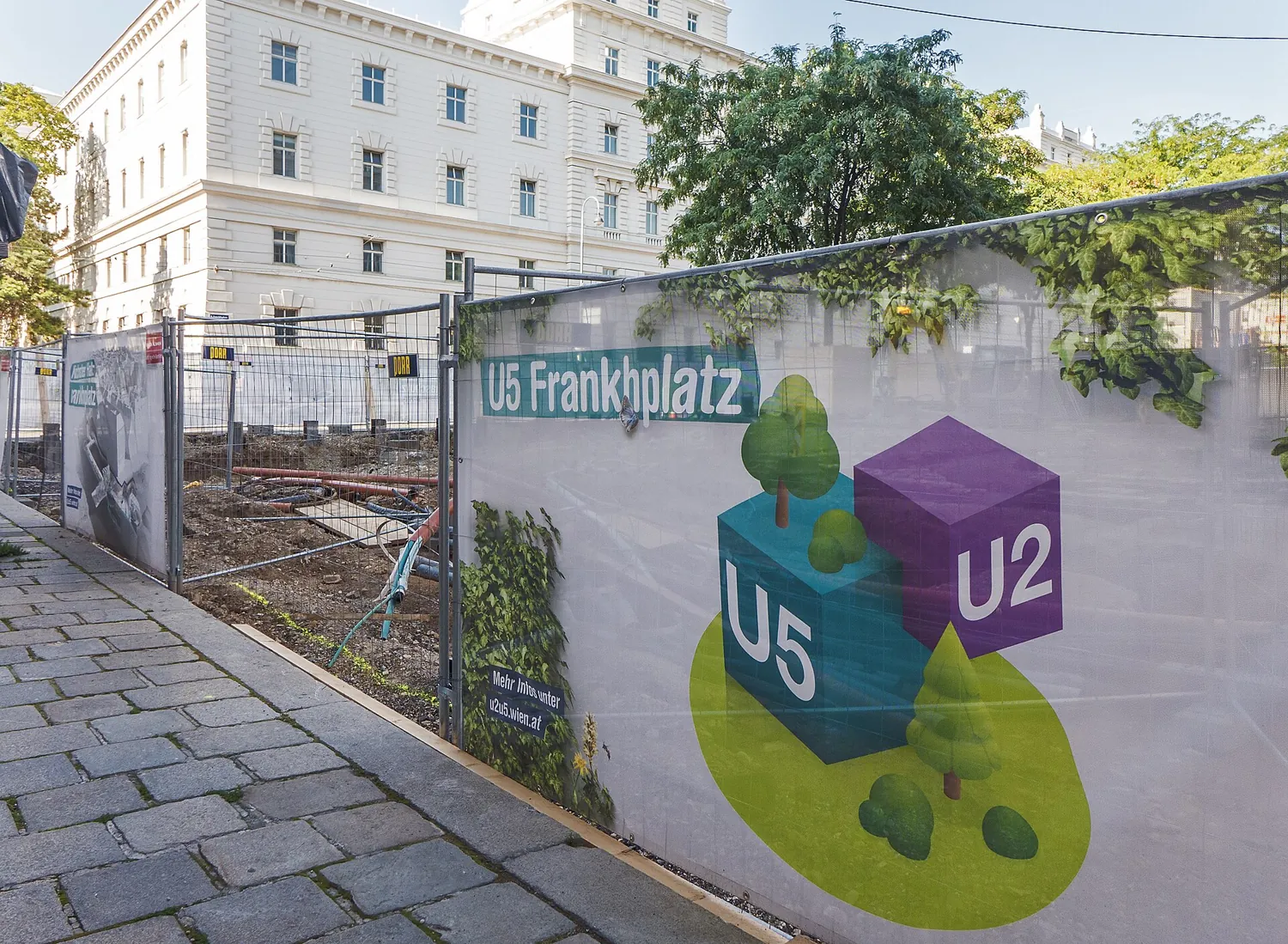
The accompanying genuine photograph records a construction scene. It does not show today's progress or establish that every visible worksite is still in the same condition.
A reliable reading checklist
- Identify the authority and publication date.
- Separate the target date from a confirmed opening.
- Check which section the announcement describes.
- Use passenger information for the actual journey.
Follow progress responsibly
There is no need to enter a construction zone to understand it. Official updates and lawful public viewpoints provide context while keeping workers and visitors out of unnecessary conflict.
Continue planning Austria
- Plan a first trip to Austria
- Austria Beyond the Imperial Postcard: History, Food and Regional Culture
- Schönbrunn Palace Guide: Tickets, Imperial Rooms and a Realistic Vienna Visit
- Melk Abbey: Benedictine Heritage, Baroque Spaces and Respectful Visiting
- Austria on a Budget: Vienna’s Free Museum Collection, Parks and Better Choices
- A Slower Graz: Historic Streets, Farmers’ Markets and Styrian Food Questions
- Austria Business Setup: Start-up Founders, Self-Employment and Residence
- How to Move to Austria Legally: Work, Study, Family and Founder Routes
- Luxury Austria: Vienna Culture, Salzburg Stays and Considered Alpine Escapes
Official sources and photograph credit
Reconfirm current rules, access and charges with the responsible official source before booking or applying.
- City of Vienna: U5 development and target
- City of Vienna: U2 extension
- City of Vienna: overall programme
- Wiener Linien passenger information
Photograph: Gugerell; U5.12 Frankhplatz Baustelle b.jpg; CC0. Resized and converted to WebP. Genuine archival photograph, not a live view.
